Hiking
There are many trails, mainly flat forest walks right within the campground and surround area.
Outside the park there are mainly flat walks in the woods at the Paul Smiths Visitor Center (VIC) and the Wild Center in Tupper Lake.
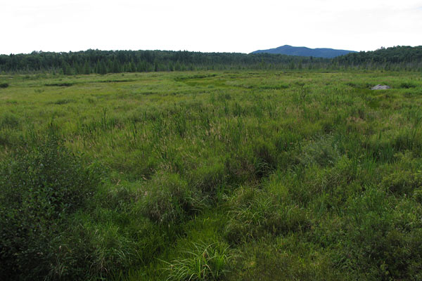
There are hundreds of hikes in the surround mountains as well as the popular high peaks region. Smaller hikes include nearby St. Regis Mountain (Paul Smiths Visitor Center), Panther Mountain (just south of the park on route 3 heading towards the town of Saranac lake) and Mt Baker in Saranac Lake.
For the more ambitious consider Ampersand Mountain which is on Route 3 on the way towards the town of Saranac Lake, or head past Lake Placid into the high peaks region. In the high peaks Mt Joe is one of the smaller hikes but features amazing views of the neighbour high peaks incuding Algonquin and Mt Marcy. Cascade (route 73) is also one of the more moderate hikes with fantastic views.
Hiking in the Park
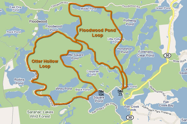
There are two main hiking trails that originate within the campground.
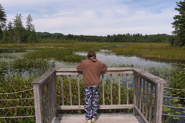
The first is the Floodwood Pond Loop which starts across from around site 12, passes Echo Pond, heads up between Horseshoe Pond and Little Polliwog Pond, around Middle Pond, back along Floodwood Pond and then follows Fish Creek back to the campground at site 23, via the road into C section (sites C17 and C1-C7). This trail is relatively flat with some ascents and descents. Total length is 7.7 miles.
The second trail is the Otter Hollow Loop which starts at site 104, past Black and Why Ponds, then around Little Square Pond, traversing the South shore of Floodwood Pond to the far end of Rollins Pond Campground. At this point you essentially follow the road through the whole of Rollins Pond, back to Fish Creek. The trail is rolling with some ascents and descents with approximately half being on paved road through Rollins Pond campground back to Fish Creek Pond campground. Total length is 8.1 miles.
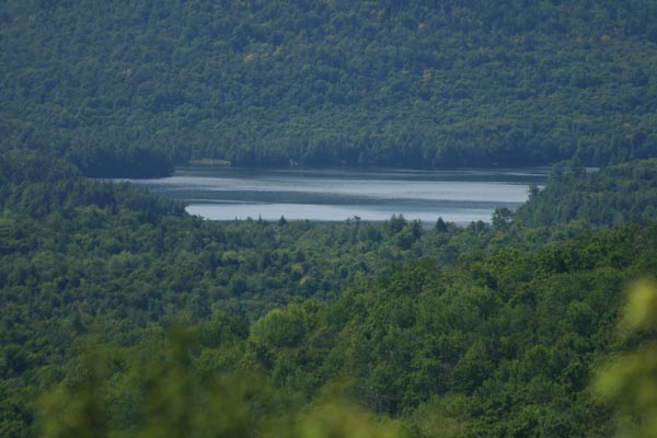
Panther Mountain
Panther Mountain is an excellent choice for a close by, shorter hike with the kids.
It has a total vertical gain of only 400 ft, yet offers fine mountain views and Tupper Lake in the distance to the south west, and Ampersand Mountain to the east. Also visible are Middle Saranac and Stoney Creek Ponds. Its about a 15 minute hike to the partially open summit.
Panther Mountain is located 6.6 miles south of the park, a short 10 minute drive. Take Route 30 south, then head east (left) on Route 3.
Look for the small trail head parking on your right as you drive down the hill. The actual trail is on the opposite side of the road. There is also another short trail from the parking lot down to a small pond.
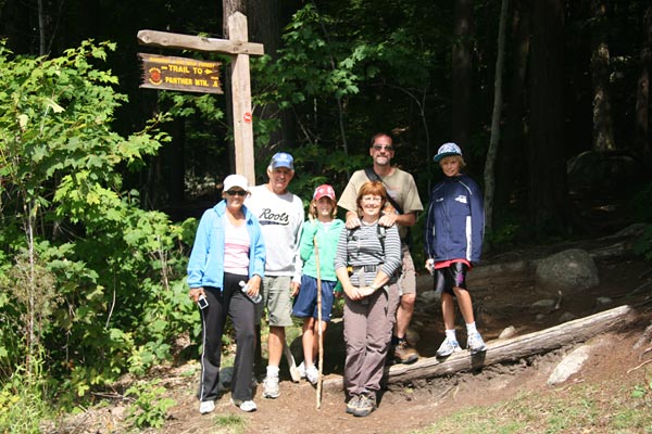
Panther Mountain Trail head...
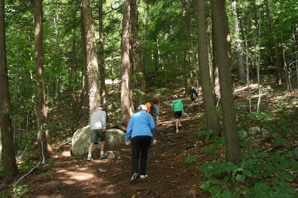
Hiking up Panther...
Looking east towards Ampersand Mountain (Stoney Creek Ponds in foreground)...
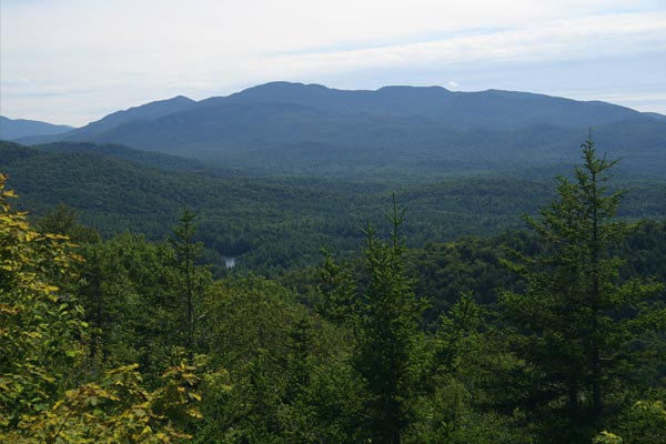
Zooming in on Ampersand / Stoney Creek Ponds from Summit of Panther...
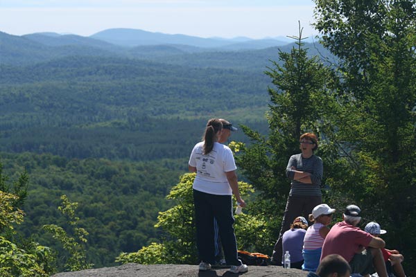
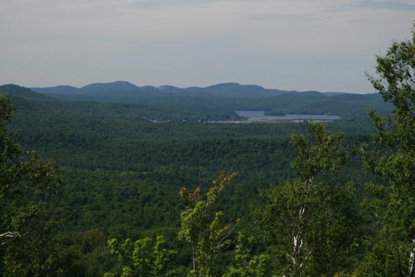
Mountains in the distance to the south... <
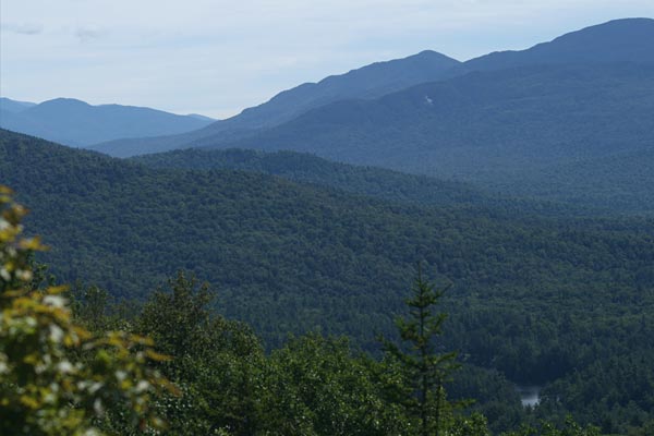
Tupper Lake and Mount Morris to the South West...
Zooming in on Middle Saranac in the distance...
Pond by the parking lot across from the Panther Mountain trail head...
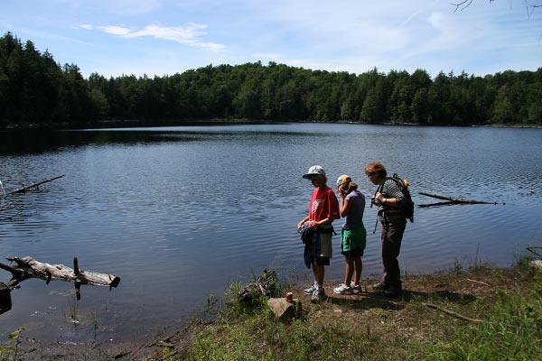
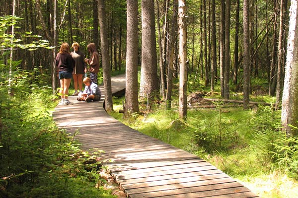
Hiking at the Paul Smith's Visitor Interpretive Center (VIC)
The Paul Smiths Visitor Interprective Center (VIC) opened in 1989. Located on approximately 2,700 acres near Paul Smiths College, the VIC is located just north of Paul Smiths College, about 20 miles north of Fish Creek.
The VIC has approximately six miles of interpretive trails and eight miles of backcountry trails. Throughout the property visitors will encounter every habitat type found in the Adirondack Park except alpine. Every spring the VIC hosts the Great Adirondack Birding Festival. Throughout the year visitors can partake of guided interpretive walks, regular outdoor activities, naturalist-led canoe paddles on Barnum Pond, and assorted lectures and slide presentations. In the winter the trails are open for snowshoeing and cross-country skiing.
In the summer months, a native species Butterfly House is also open by volunteers.
This is a great place to spend the day with kids, touring the building and displays, the butterfly house, and hiking around the 6 miles of trails.
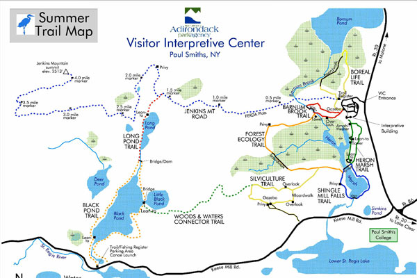
Heron Marsh...
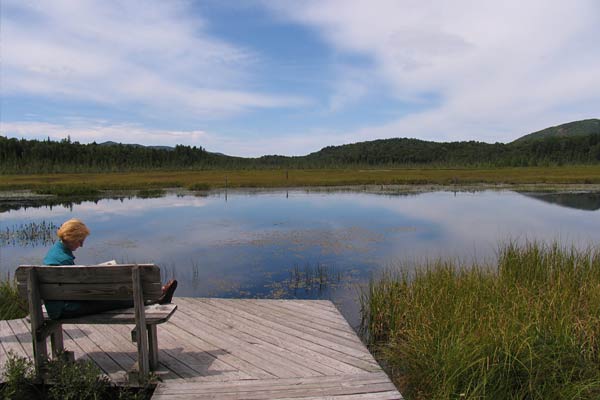
Heron Marsh...
Heron Marsh...
Forest Ecology Trail...
Ampersand Mountain
Ampersand Mountain is a 3,352 ft (1,021.7 m) mountain on Route 3 south east of Fish Creek. Head south of the park on Route 30, then head east on Route 3.
It is accessed approximately half way between the Route 30 / Route 3 intersection and the town of Saranac Laek.
The trail up the mountain begins on Route 3, 8.1 miles (13.0 km) southwest of the village of Saranac Lake, near Middle Saranac Lake; it is a popular day hike.
The mountain takes its name from nearby Ampersand Creek, so named because it twists and turns like the ampersand symbol. The summit is bare rock, with extensive views of the High Peaks to the east and the Saranac Lakes to the west.
Ampersand Mountain is a classic Adirondack day hike. To quote Bruce Wadsworth in An Adirondack Sampler, Day Hikes For All Seasons, he states,
Standing on Ampersand Mountain, you can gaze into the bold face of the Seward Range, and then to the more distant high peaks. Turning around, you can look below to the Saranacs (lakes) and the lake country. Such a contrast in beauty is not available to this degree anywhere else in the Adirondacks.
The ascent is 1,775 ft over 2.7 miles.
Looking north west with view of Middle Saranac Lake from the Summit of Ampersand Mountain...

The High Peaks
For the more adventurous hiker, there are a great number of excellent hikes in the nearby high peaks region east of Lake Placid. The high peaks are approximately 1 hour south east of Fish Creek.
Head south on Route 30, then east on Route 3 to Saranac Lake, Route 86 to Lake Placid and Route 73 to the high peaks area.
Beginner / Easy Hikes up to Summits in the High Peaks area:
Mt Jo via the ADK LOJ (easiest hike with amazing views of the High Peaks)
Hurricane via 9N (one of the farthest from Fish Creek however)
Noonmark via Route 73
Owls Head via Route 73
Baxter Mountain via 9N
Beginner / Easy Hikes (Relatively Flat): Marcy Dam via the ADK LOJ
Easier hikes to consider that are part of the ADK 46ers includes:
Cascade and Porter (directly off Route 30), 4098 ft
Phelps via the ADK LOJ, 4160 ft
Wright from the ADK LOJ, 4587 ft
Lower Wolfjaw via the Ausable Club, 4173 ft
Big Slide via The Gardens or Johns Brook, 4199 ft
Top Twelve 46ers (Major Hikes!):
Mt Marcy (5344 ft)
Algonquin Peak (5115 ft)
Mount Haystack (4961 ft)
Mount Skylight (4925 ft)
Whiteface Mountain (4865 ft)
Iroquois Peak (4843 ft)
Basin Mountain (4826 ft)
Gray Peak (4826 ft)
Dix Mountain (4823 ft)
Gothics (4734 ft)
Mount Colden (4715 ft)
Giant Mountain (4626 ft)
Related Topics:
Last updated: April 22, 2011 12:00:00